Posted on August 21, 2024
On 8 August, representatives from GEOTERRA IMAGE spoke to the 1st year cartography class at the University of Pretoria about a selection of geospatial solutions to problems, implemented using geospatial (and other) technologies. Students of the class come from a wide range of programmes, ranging from those in information science or statistics to environmental science or geoinformatics. The focus of the talks was thus not on technical aspects, but on what someone can do with an idea or a question, geographic data, geographic thinking, and skills from various people from various fields.
 |
 |
 |
|---|
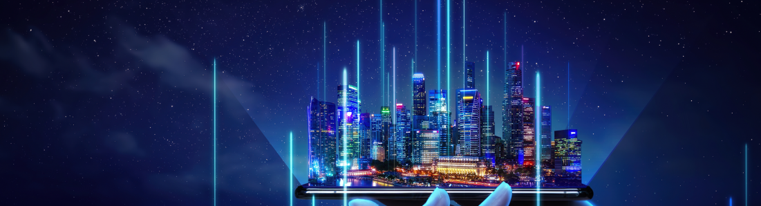
Geospatial data and methods are used not only by those in the geospatial industry. How we move in space, and the decisions that affect where we work, live, or simply enjoy ourselves are often impacted by geographic space. And it is not only about mapping or navigating. Geographic data and geographic information are integral to numerous fields and disciplines and often underpin or at the very least support decision-making at multiple levels in industry or government. By including earth observation, cloud computing, diverse data sources, and analytics using Machine Learning and Artificial Intelligence applications are built that provide solutions to real-world problems. From the importance of having the correct datasets to harnessing skills outside the geospatial industry for inclusion in geographic analysis, the talk was insightful and fun for those who attended.
The Department wishes to thank Ross, Jasper, and GTI for speaking with the students and for the engaging question-and-answer session that followed the talk.

Copyright © University of Pretoria 2025. All rights reserved.


 Virtual Campus
Get Social With Us
Download the UP Mobile App