Posted on June 06, 2022
One in every ten people worldwide fall ill due to food borne diseases, where some cases are mild but others are deadly- accounting for the loss of 33 million healthy life years (DALYs) each year. Over 200 diseases, such as Listeriosis, Salmonella, cancer, immune disease, and Norovirus are all caused by harmful bacteria, viruses, parasites and chemical substances in unsafe food. As a result Food Safety Day was established by the United Nations General Assembly in 2018, and is currently jointly facilitated by WHO and the Food and Agriculture Organization of the United Nations (FAO). The theme for World Food Safety Day 2022 is “Safer food, better health”. This year the campaign aims to highlight the crucial role that access to sufficient amounts of safe and nutritious food play on sustaining life, and ensuring health and well-being around the world.
Due to rapid population growth, population density and limited available resources, the efficient delivery of food, from the producer to consumer, is becoming increasingly more important. GIS (Geographic Information Systems) plays a fundamentally important role in promoting safe food production and logistic control. GIS can be used for modelling fresh food cold distribution routes and supply chains, by optimizing delivery routes for perishable food to and from suppliers and distributors. GIS also promotes accessibility to safe food, through modelling catchment areas, locating areas for establishing distribution centres and planning routes to connect producers and consumers.
The use of GIS in terms of emergency response and disaster management, greatly affects the efficiency and effectiveness at which emergency response teams combat food borne diseases, including the spread thereof. Geographic information systems allows us to analyse health indicators alongside geographic factors and identify geographic locations where food borne diseases are likely to emerge. GIS can then also used to map the spread of current diseases. The map below shows statistics for a cholera outbreak in Yemen in 2017. From the map we can immediately identify areas that are severely infected, as well as surrounding areas that pose a high risk of infection. By mapping the spread of the disease it allows us to identify at risk areas where precautionary plans can be implemented, in order to combat the further spreading thereof.

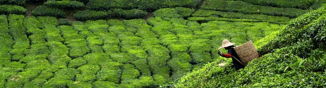
Food safety and food security are inextricably linked, as the need for uncontaminated safe food is fundamentally connected to having access to food. Across the world roughly 80% of our food comes from agriculture (farms). Crops grown by farmers are predominately used for three purposes. The main use is for human consumption, followed by animal consumption, and finally a small portion of crops are used by industries and to generate biofuels. Therefore, agriculture is a vital industry to monitor and keep finding ways of improving so that there is food for humans to survive.

Image source: Yuwalee Unpaprom, Natthawud Dussadeeb, Rameshprabu Ramaraj, Modern Agriculture Drones The Development of Smart Farmers (2018)
With technology constantly improving, satellite and UAV (drone) imagery are being used to analyse crops. The imagery collected uses multispectral bands that reacts with the crops. From this reaction, one can analyse and monitor the crops. For example, one of the simplest methods used is NDVI images, which represents the health of the crop. This can determine areas in the land where the crops are greener (healthier) than other areas. With the improving technology, the spatial resolution of the images has improved that drones are able to capture images with a resolution of centimetres. This has enabled the imagery to detect very small differences between each individual plant. Drones with a high spatial resolution and a multispectral camera are used to detect diseases and insects affecting the crops. This is very helpful as it will allow the farmer to detect areas in the land that is being affected and find ways to improve the crops health. Therefore, leading to a higher yield for the farmer which leads to food safety for the country. The analysis of crops allows farmers to detect and predict areas of risk in their land, this will help to improve the food safety as the world relies on agriculture to produce the food to survive.
Every individual has an important role to play in terms of food safety, whether it be food production, monitoring, planning, transporting, selling, cooking or serving thereof. The applications of GIS and remote sensing in the food industry allows for safe, reliable and efficient systems to be established, promoting safe food, health and well-being around the world.
For more information on GIS and remote sensing please visit our geoinformatics information page, or our geospatial data science or earth observation research focus areas.
Main image source: WHO, 2022. Accessible at https://www.who.int/campaigns/world-food-safety-day/2022/campaign-materials
- contributed by Carli Kriek and Shaun Muirhead


Copyright © University of Pretoria 2025. All rights reserved.


 Virtual Campus
Get Social With Us
Download the UP Mobile App