


Posted on May 31, 2022
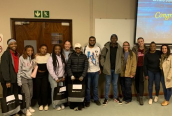
The department of Geography, Geoinformatics and Meteorology will offer a Remote sensing data analysis in R-Studio: A machine learning perspective from 8-10 November 2022. This course will be led by Dr. Philemon Tsele and is targeting those working with big data within the remote sensing industry and how certain advanced algorithms such as artificial intelligence and machine learning are used within this context. This remote sensing data analysis course covers the physical principles of satellite remote sensing and remote sensor data processing using machine learning methods.
Once you have completed the course, you will:
For more information please visit https://www.enterprises.up.ac.za/remote-sensing-data-analysis-in-r-studio-a-machine-learning-perspective-4.


Copyright © University of Pretoria 2025. All rights reserved.

 Virtual Campus
Get Social With Us
Download the UP Mobile App