


Posted on November 24, 2022
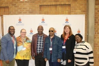
The Southern African Geography Teachers’ Association (SAGTA), in partnership and collaboration with the Independent Examinations Board (IEB), Kartoza (an open-source GIS service provider) and the University of Pretoria, has launched the online Geospatial Data Science Certificate (GDSC) for schools in South Africa.
The GDSC is being piloted this year and offers Grade 10 to 12 learners the opportunity to put their skills in geographic information systems (GISs) to the test. Teams of between two and five learners (of whom only one needs to be studying FET Geography) will collaborate to successfully complete a two-part process to attain the GDSC. Part A involves theory and skills development (using GIS), and Part B requires the production of an academic poster in which the team, having used GIS, visually explains their solution to a geographic problem experienced in South Africa.
In 2022, our pilot year, 330 learners from 32 schools, and 48 teachers will be participating. SAGTA hopes to launch the South African GIS Olympiad (SAGISO), an offshoot of the GDSC, in 2023. This year, as a pilot of SAGISO, the best posters per province will be submitted for evaluation and the most impressive poster will be the 2022 winner of the SAGISO! The triumphant team will receive prizes from various sponsors and attend a virtual FOSS4G Conference held in Kosovo to present their poster at an online GIS conference.
For more information about the GDSC, please contact Dr Clinton van der Merwe at [email protected], or visit the SAGTA website: www.sagta.org.za.
FACULTY NEWS
In-


Copyright © University of Pretoria 2025. All rights reserved.
 Virtual Campus
Get Social With Us
Download the UP Mobile App