


Posted on July 23, 2018
OpenStreetMap (OSM) is an openly-licensed geospatial database created and edited by millions of volunteers worldwide. This database is used in various humanitarian projects, such as mapping during disaster relief operations or malaria elimination campaigns.
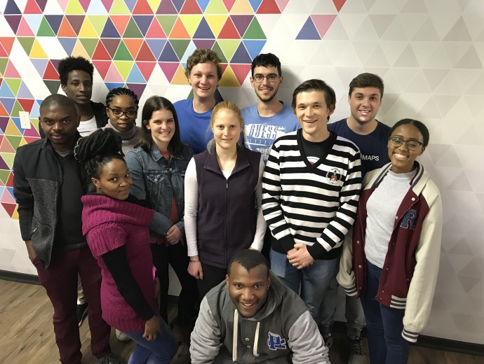
This year for Mandela Day, the CGIS YouthMappers mapping areas affected by flooding in Hiroshima, Japan. The Hiroshima area was affected by heavy rain, floods and landslides, and in response, the Japanese Red Cross is working on assisting the community. The CGIS YouthMappers mapped buildings and routes in the area that would be used by relief workers to plan their relief efforts.
“It is in your hands to make of our world a better one for all” – Nelson Mandela
Copyright © University of Pretoria 2024. All rights reserved.

 Virtual Campus
Get Social With Us
Download the UP Mobile App