


Posted on October 07, 2017
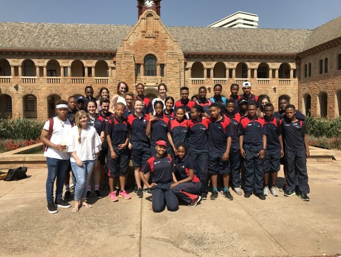
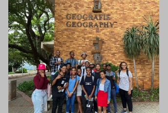
The TuksSport High School visited the Centre for Geoinformation Science (CGIS) on 15 September 2017 to learn more about Geoinformatics. The aim of this event was to provide the learners with some hands-on experience with geoinformatics to complement the school curriculum.
The day was kicked off by short presentations on Geoinformatics, Geography and Meteorology to provide the learners with information about career options and study options. To supplement this, the final year geoinformatics students, spoke to the learners about why they decided to study geoinformatics and what they enjoy most about the degree. This was followed by the hands-on activity where the school learners used Field papers (http://fieldpapers.org) to map all the benches and restrooms on the University campus and then digitised it using QGIS (http://www.qgis.org). The learners were assisted by the Geoinformatics third-year students.
The feedback received from learners and the students that assisted during the events were extremely positive, and we are looking forward to hosting the TuksSport High School learners in 2018 again! Lastly, we would like to express our gratitude to all the students that assisted with the event.
Copyright © University of Pretoria 2024. All rights reserved.
 Virtual Campus
Get Social With Us
Download the UP Mobile App