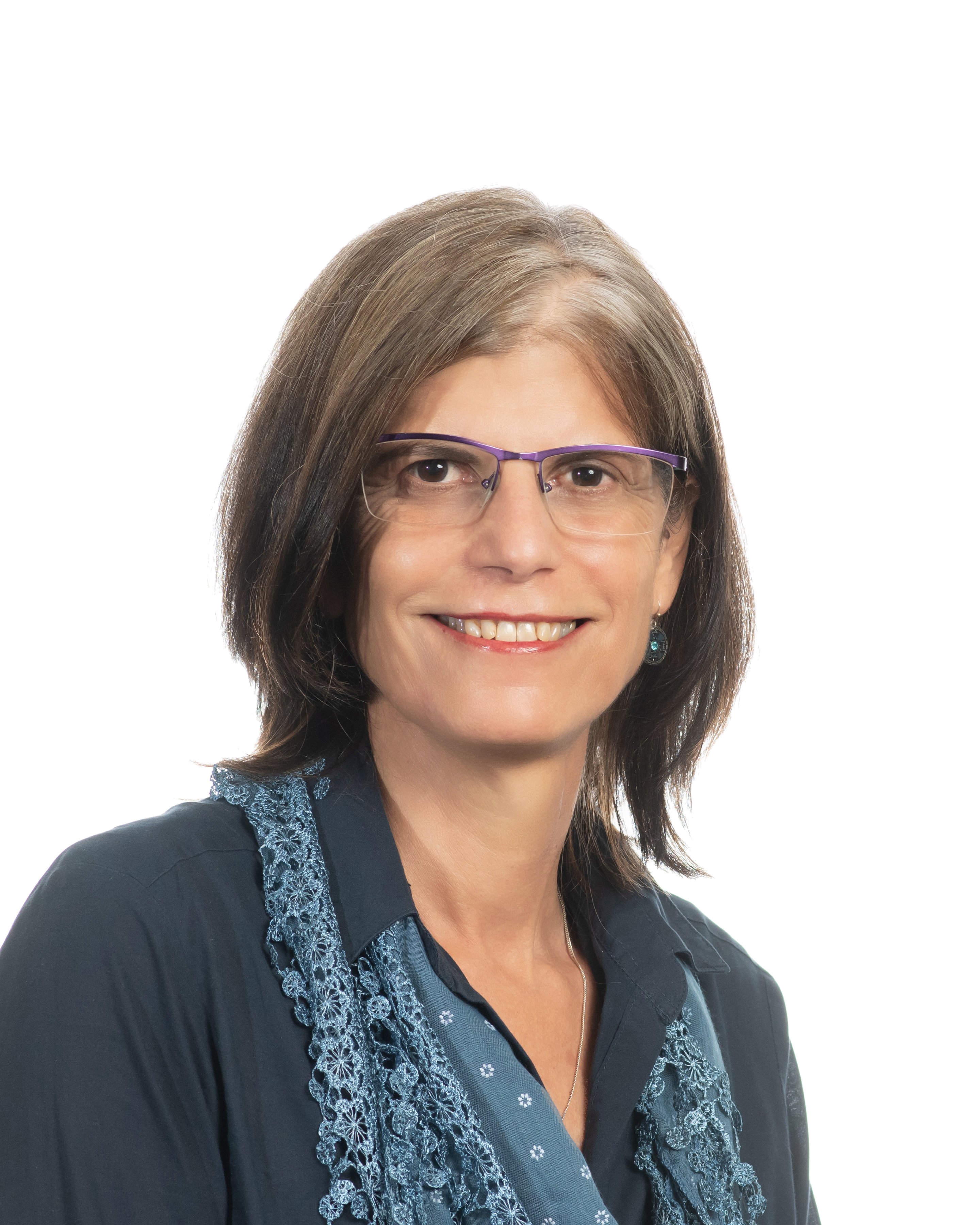
|

|
Tel: +27-(0)12-420 3737
Office: Room 3-3.8, Geography Building
Consultation: Mondays 10:00-12:0
|
Research profile
GIS education: Approaches to GIS teaching.
Terrain analysis for fog water harvesting: Creating a methodology for raster based GIS analysis of terrain features that influence fog formation.
RP-PCP project: Identification of causal factors shaping buffalo space use dynamics in the Northern part of Kruger National Park and potential implications for disease spread to neighbouring countries of the GLTFCA. http://www.rp-pcp.org/ Exploring the results and limitations of employing a supervised pixel based Maximum Likelihood Classifier (MLC) and an unsupervised classification approach using medium resolution multispectral imagery to classify vegetation structure in savanna biomes.
In association with the above mentioned RP_PCP project, a Masters dissertation (2016) was completed: “Analysis of vegetation structure in a trans-frontier savanna region using in-situ observations and SPOT 5 imagery” http://hdl.handle.net/2263/53019
Qualifications
- BA (University of Pretoria)
- HED (UNISA)
- Soc Sci Hons GIS (University of Pretoia)
- MA Geography (University of Pretoria)
Courses presented
- GGY 283 - Introductory Geographic Information Systems
- GIS 221 - Geographic Information systems introduction
Research publications
Scopus H-index
- Pretorius E. & Pretorius R. (2015). Improving the potential of pixel-based supervised classification in the absence of quality ground truth data. South African Journal of Geomatics, 4(3). http://www.sajg.org.za/index.php/sajg/article/view/304
- Breytenbach, A., Eloff, C & Pretorius, E. (2013). Comparing Three Spaceborne Optical Sensors via Fine Scale Pixel-based Urban Land Cover Classification Products, South African Journal of Geomatics, 2(4). http://www.sajg.org.za/index.php/sajg/article/view/110
- Breetzke, G. D., Eksteen, S. & Pretorius, E. (2011). Paper-based GIS: A practical answer to the implementation of GIS education into resource-poor schools in South Africa, Journal of Geography, 110(4), 148-157 http://hdl.handle.net/2263/19617
- Breetzke, G. D., Eksteen, S. & Pretorius, E. (2011). International Perspectives on Teaching and Learning with GIS in Secondary Schools, Springer. Chapter 25 p225. South Africa: teaching Geography with GIS across diverse technological context.https://www.amazon.com.au/International-Perspectives-Teaching-Learning-Secondary-ebook/dp/B007C5TSC.
Conference contributions
- Pretorius E. 2019. Using crowd sourcing and web-maps to promote student engagement with spatial concepts – a case study in a South African University. Locate’19. Melbourne, Australia 8-10 April 2019.
- Pretorius E. 2019. Promoting student engagement with spatial technology – a case study. Presented at the 2019 Flexible Futures Higher Education Innovation Conference. University of Pretoria, 9 & 10 September 2019.
- Biggs, R., Louw, I., Mahesh, K., Oosthuizen, Pretorius, E., Thukane, MM. & Shrader, A. 2019. Flexible Toolbox: Pushing the bounds of online teaching. Presented at the 2019 Flexible Futures Higher Education Innovation Conference. University of Pretoria, 9 & 10 September 2019.
- Pretorius E & Pretorius R. 2016. Improving the potential of pixel-based supervised classification in the absence of quality ground truth data. A paperpresented at the Geomatics Indaba 2015, Ekurhuleni, South Africa.
- Pretorius E. 2013. Image Classification towards Mapping of Vegetation Structure: A practical approach. A paperpresented at the 26thInternational Cartographic Conference (ICC 2013) in Dresden, Germany.
- Pretorius E. 2009. Chair: Session S9-E, Image classification. The 26thInternational Cartographic Conference (ICC 2013) in Dresden, Germany.
- Pretorius E. 2009. Using GIS in the search for suitable sites for the implementation of fog water collection systems in South Africa. A paper presented at the 24thInternational Cartographic Conference (ICC 2009) in Santiago, Chile.
- Pretorius E. 2009. Chair: Second morning session: Friday 20 November 2009 at the24thInternational Cartographic Conference (ICC 2009) in Santiago, Chile.
- Eksteen, S.P. & Pretorius E. 2008. Paper GIS: A first- and third-world solution.A paper presented by Ms Eksteen in August 2008 at the Eighth Annual ESRI Education User Conference (EdUC) in San Diego, USA.
- Eksteen, S.P. & Pretorius E. 2007. GIS and Geography Grade 10. An integrated exercise: People and their Organisations (with special interest in the SADC countries). APaper GIS exercise for secondary schools presented at a special teacher training workshop in East Londen, 10-12 November 2007
- Dyson, L.L. & Pretorius E. 2007. Using GIS in the implementation of fog water collection systems at schools in the Limpopo province: a case study in the Soutpansberg area (UP Meteorology Community Project)Poster presented at the 2007 Conference of the Society of South African Geographers.
Book chapter
- GIS in secondary schools in South Africa: Three case studies and some comments. Sanet Eksteen, Erika Pretorius, Gregory Breetzke.
Get Social With Us
Download the UP Mobile App